Simultaneous Nadir Overpasses (SNOs) Predictions
Prediction of SNOs between GOES-15 and NOAA-19 Satellite Orbit:
Table of predicted SNOs for the next 14.0 days since TLE Epoch: 4/18/2026
| Index | Date | Time (GOES-15) | GOES-15 Lat,Lon | NOAA-19 Lat,Lon | Distance(km) | Time Diff (sec) |
| 1 | 04/18/2026 | 21:32:21 | 0.57, 63.29 | 0.57, 63.29 | 0.00 | 0 |
| 2 | 04/20/2026 | 01:19:01 | -0.50, 63.25 | -0.50, 63.25 | 0.00 | 0 |
| 3 | 04/21/2026 | 05:05:40 | -1.10, 63.22 | -1.10, 63.22 | 0.00 | 0 |
| 4 | 04/22/2026 | 08:52:20 | -0.68, 63.23 | -0.68, 63.23 | 0.00 | 0 |
| 5 | 04/23/2026 | 12:38:59 | 0.39, 63.26 | 0.39, 63.26 | 0.00 | 0 |
| 6 | 04/24/2026 | 16:25:39 | 1.10, 63.30 | 1.10, 63.30 | 0.00 | 0 |
| 7 | 04/25/2026 | 20:12:18 | 0.78, 63.32 | 0.78, 63.32 | 0.00 | 0 |
| 8 | 04/26/2026 | 23:58:57 | -0.27, 63.29 | -0.27, 63.29 | 0.00 | 0 |
| 9 | 04/28/2026 | 03:45:37 | -1.07, 63.25 | -1.07, 63.25 | 0.00 | 0 |
| 10 | 04/29/2026 | 07:32:16 | -0.87, 63.26 | -0.87, 63.26 | 0.00 | 0 |
| 11 | 04/30/2026 | 11:18:56 | 0.15, 63.28 | 0.15, 63.28 | 0.00 | 0 |
| 12 | 05/01/2026 | 15:05:35 | 1.03, 63.33 | 1.03, 63.33 | 0.00 | 0 |
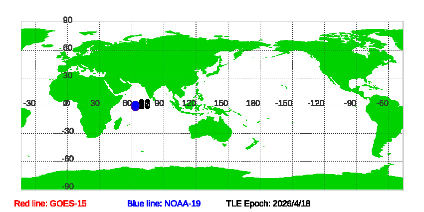
Figure of GOES-15 and NOAA-19 satellite orbits during SNOs since TLE Epoch: 4/18/2026
 Download SNOs between GOES-15 and NOAA-19 since TLE EPOCH: 04/18/2026 in txt file.
Historical Predications of SNOs between GOES-15 and NOAA-19